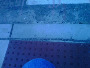
A three-block walk through Center City Philadelphia turned into a 25-minute obstacle course yesterday because of street repairs. While I appreciate the efforts put into street maintenance, what constitutes a minor inconvenience to most people can turn into a real challenge and safety issue for mobility-impaired individuals.

I spend a lot of time navigating the streets of old East Coast cities – Philadelphia, Pa.; Trenton, New Jersey; and New York City especially — and I sometimes travel by wheelchair. On more than one occasion, I’ve been forced to detour or take unsafe routes because curb cuts were either non-existent, poorly maintained or compromised by street construction or other obstacles. I’ve decided to create a social media platform for documenting these obstacles. I’m calling it Curb Cut Alert! because I’d like this to become a tool that allows people in chairs to navigate more safely.
Starting with Center City Philadelphia, I’ll map the obstacles that I come across, and share them via twitter using the #CurbCutAlert hashtag. I’ll run a twitter feed on my site to pick up information from other sources as well. Ideally, I want others to be able to add information easily, but this is my first use of MapPress, so I will take it one step at a time and see how it goes.
[mappress mapid=”1″]
![]() Curb Cut Alert! by Kim Pearson is licensed under a Creative Commons Attribution-NoDerivatives 4.0 International License.
Curb Cut Alert! by Kim Pearson is licensed under a Creative Commons Attribution-NoDerivatives 4.0 International License.
Leave a Reply
You must be logged in to post a comment.